 Go to Thermal Environment Map
Thermal Environment Map
Analysis of Urban Thermal Environment and Urban Thermal Isles based on GIS

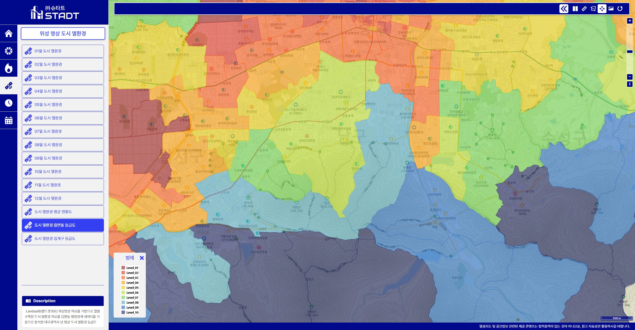
This service is the achievement of the "Daegu City Heat Island Map Construction Project for Climate Change among" the research and development projects of the Daegu Green Environment Support Center in 2018.
It is a map that comprehensively analyzes the urban thermal environment of Daegu Metropolitan City.
Purpose of Thermal Envirenment Map

It provides an easy-to-understand map so that the urban thermal environment and thermal island status can be analyzed objectively and from various angles.

When establishing related policies, establish a quantitative basis that can be used as basic data for system operation.

It provides a highly utilized map service based on spatial information for urban thermal environment and thermal island analysis.